

Why Work With Me
One Operator, Start to Finish
I plan the flight, capture the data, and process it into something you can decide with. Same person, every time — no handoffs, no strangers on your site.
Local Is the Advantage
Not a dispatch network sending whoever’s available. I’m minutes away, I know your project, and I catch the weather window instead of rescheduling you a week out.
On the Hook for the Outcome
Do what I say, deliver more than expected. Every job is documented and functioning when it’s delivered. If my name’s on it, it’s right.
Ground Truth, From the Sky
Anybody with a cheap drone can hand you pretty pictures. I hand you something you can use — measure it, plan against it, document it, decide on it. I spent 21 years in emergency response, reading scenes for risk and the single point of failure. That instinct didn't retire. It found a new altitude. Now I fly for the builders, developers, and farmers who need data they can trust — delivered by the same person every time.
Built on Integrity and Follow-Through.
Certified. Insured. Local. And when I’m done, everything is documented and functioning.

Featured Services

Progress documentation, timelapse, stockpile and earthwork volumetric estimates, and solar installation records. The weekly ground truth your team and stakeholders need — without climbing anything or waiting on a crew.
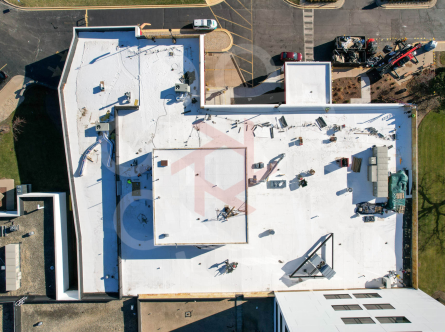
Roofs, structures, towers, and solar arrays. High-resolution detail on what’s hard or hazardous to reach — no ladder, no scaffolding, no risk.
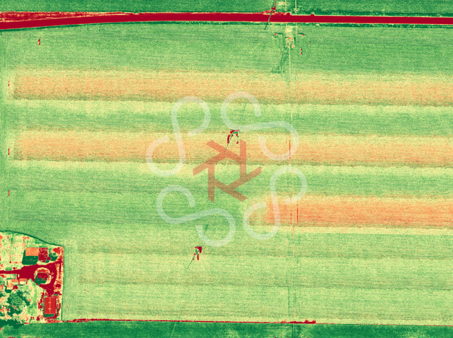
Crop health, stand-count, weed and drainage mapping, and weather-event documentation. A season-long record of what your ground is doing.
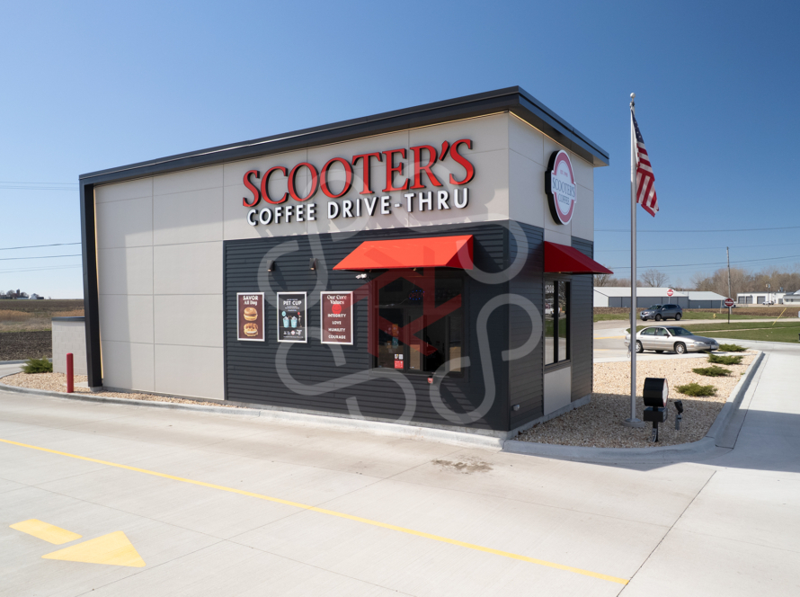
When the story is the point — commercial media, events, and milestone captures that make the work look as big as it felt.
Operating Area
Based in Yorkville, IL, I routinely operate throughout Kendall County, the Fox Valley, and the greater Chicagoland area. Sites beyond a 30-mile radius may require travel expenses. Tell me where your site is and I'll tell you straight.
Who's Behind the Lens
Why It Matters
One operator, start to finish. I plan the flight, capture the data, and process it into something you can actually decide with — a map, a measurement, a model. Not a memory card and a shrug.
FAA Part 107 certified and insured, local to Yorkville, and on the hook for the outcome.
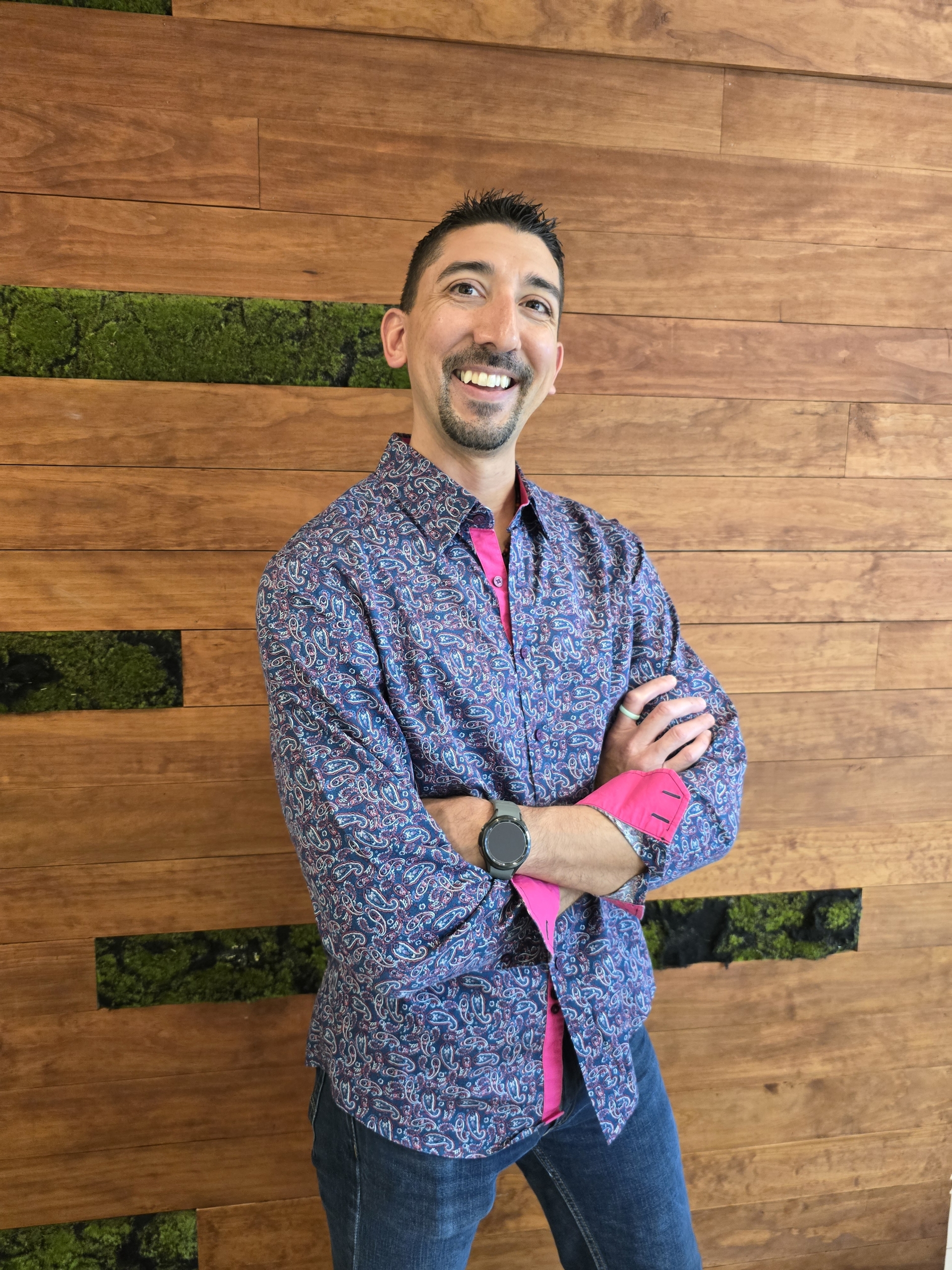
Humza Shamsuddin
Founder & Chief Pilot
Twenty-one years in the fire service as a lieutenant and paramedic — and still serving today as a rescue and planning team member on Illinois’ state search and rescue team. I’m not a media company that discovered drones. I’m a first responder who learned to read what’s overhead the way I read an emergency scene: for risk, for the single point of failure, for the thing everyone else glosses over.