
Aerial Data You Can Act On
How We Work — Every project starts with a conversation. I learn what you’re building and what you’re working with, then scope it to fit — because your project isn’t a blanket, and it shouldn’t get blanket pricing. Tell me what you need; I’ll tell you straight what it takes and what it’d cost.

Progress documentation, timelapse, stockpile and earthwork volumetric estimates, and solar installation records. The weekly ground truth your team and stakeholders need — without climbing anything or waiting on a crew.
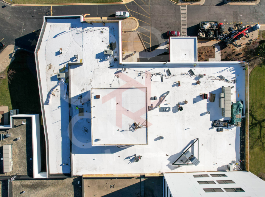
Roofs, structures, towers, and solar arrays. High-resolution detail on what’s hard or hazardous to reach — no ladder, no scaffolding, no risk.
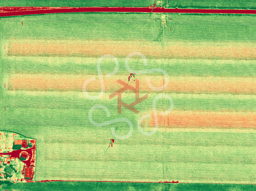
Crop health, stand-count, weed and drainage mapping, and weather-event documentation. A season-long record of what your ground is doing.
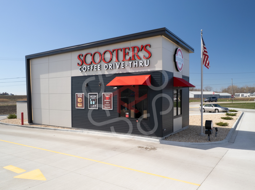
When the story is the point — commercial media, events, and milestone captures that make the work look as big as it felt.